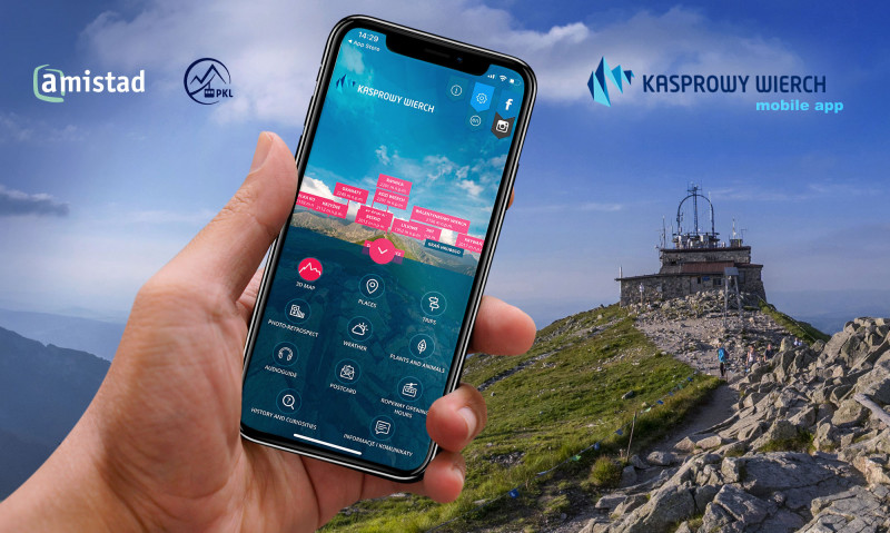
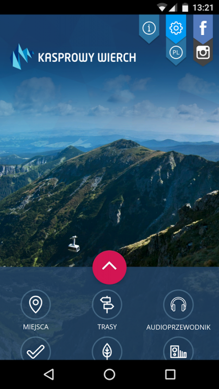
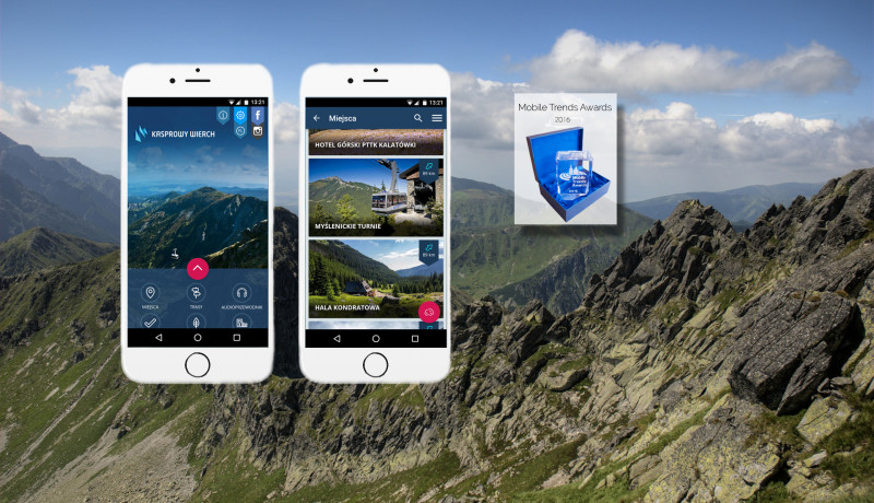
The summer application "Kasprowy Wierch” is a perfect choice for you if you look for a good guide around the peak area, want to add some variety to your trip and become better acquainted with the region.
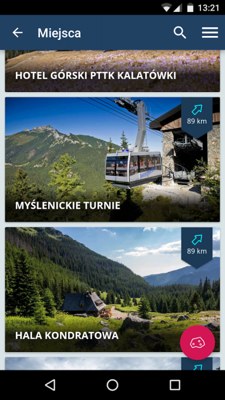
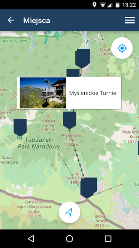
Choose from nine hiking trails leading to the top - from Kuźnice or Brzeziny through Dolina Gąsienicowa, Myślenickie Turnie or Kopa Kondracka - depending on your fitness level and time available. Each route is marked on the offline map, and thanks to GPS technology, you can see your exact position while hiking. Points of interest are marked on the routes and described. AR (augmented reality) allows you to see what the place looked like eighty years ago, when tourism in the Tatras was just beginning to develop.
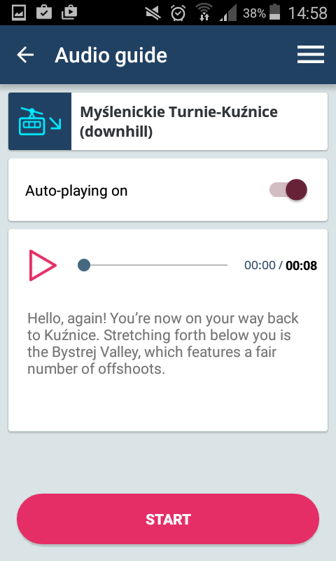
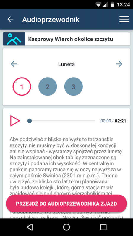
Those who decide to use the cable car can enhance their experience by listening to the audio guide which approximates the history and functioning of the rope way and describes the viewed panorama.
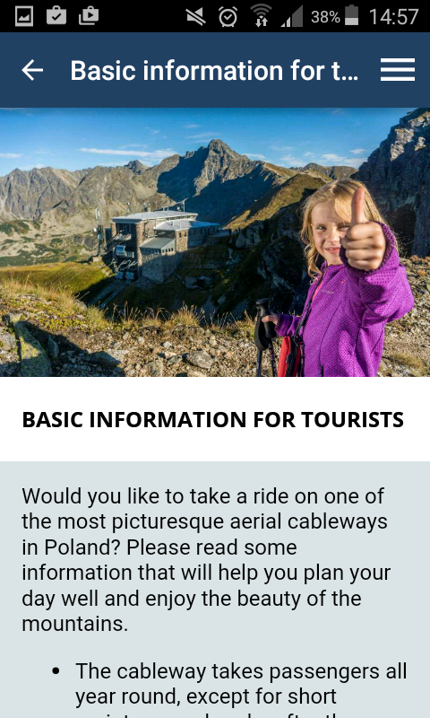
For those who see the Tatra Mountains for the first time, we have prepared a tourist guide - a few short articles on good preparation for the trip and the responsible and safe behavior in the high mountains.
The quest "To Kasprowy with History and Nature" is a unique proposition of reaching the summit. The route leads from Kuźnice through Dolina Gąsienicowa and the Liliowe pass. Solving riddles as you go will make your trip more varied and will get to know a lot of secrets hidden on the trail.
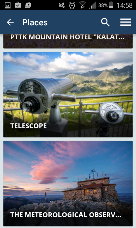
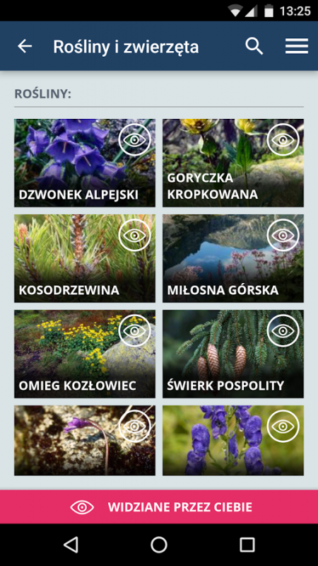
In addition to touring information, the application provides interesting articles about the history of the cable way, its construction and operation, stories of famous figures associated with Kasprowy Wierch, the history and trivia concerning the Tatra National Park and TOPR, and an encyclopedia of plants and animals found in the Tatra Mountains illustrated with beautiful photographs. An additional element to make the acquisition of knowledge about the region fun is the set of quizzes.
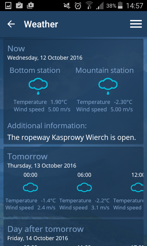
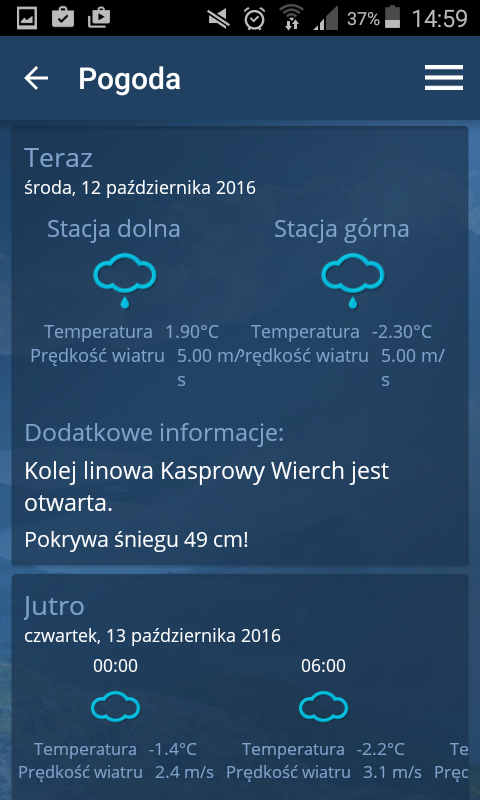
The "Kasprowy Wierch" application is also an always up-to-date database of practical information related to the operation of the cable car and the tourist infrastructure on the summit and a weather forecast for the mountains.
The mobile guide also works offline. Internet connection is only required to update the content the user may decide to update. The application is available in two languages: Polish and English.