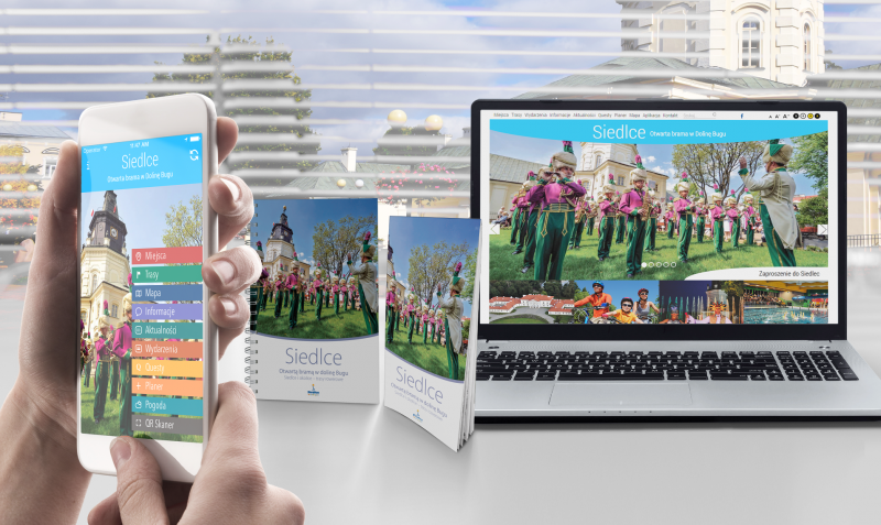
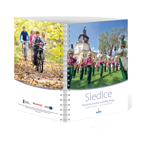
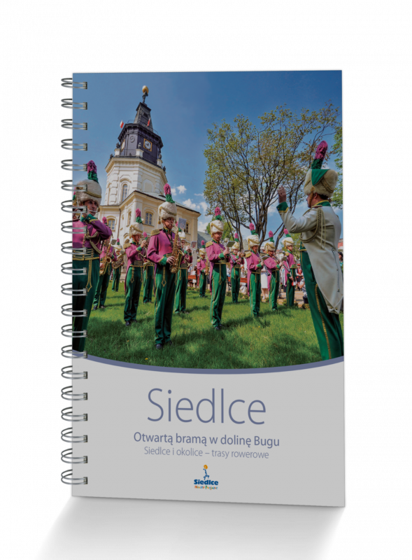
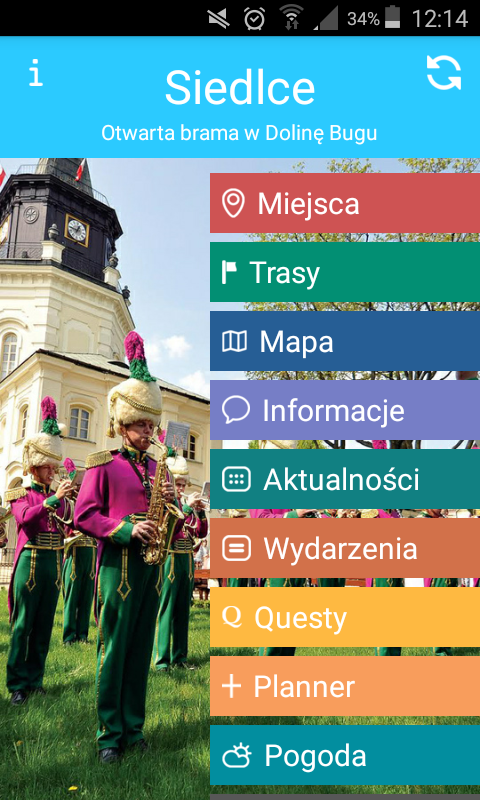
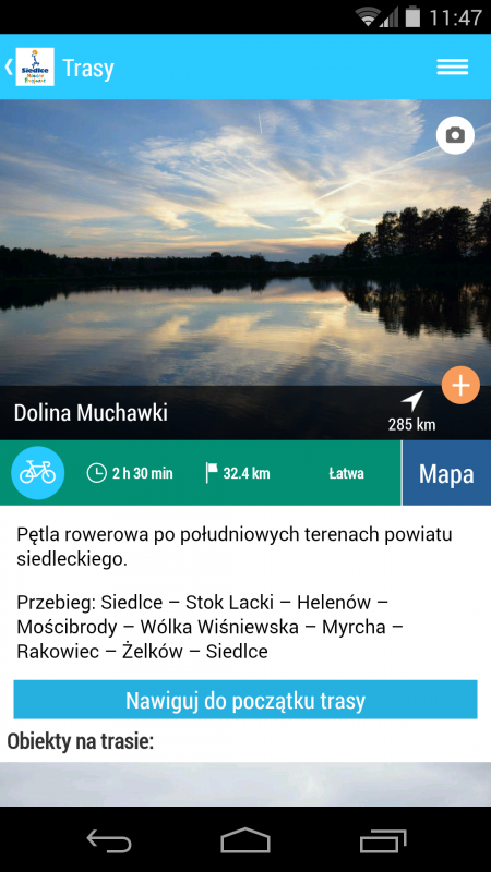
The Siedlce mobile application is an excellent guide to the eastern areas of the Mazowieckie Voivodeship. Extensive information about the city makes it easier to learn about its history, and six bicycle routes around the Siedlce district - Budzieszyńska, Korczewska, Reymontowska, Wodyńska, Zielone Siedlce and Dolina Muchawka - encourage closer contact with nature uncontaminated by industry. The picturesque, vast valleys of the Liwiec and Bug rivers - extremely attractive, and still poorly discovered - are a field for exploitation for all those thirsty for active recreation. Tourists will find here monuments, old Polish mansions, traces of the history of the Uniates, quiet refuges on the banks of rivers and as many as nine floristic and faunal nature reserves.
When choosing one of the six bicycle routes described above, it is worth seeing the palace in Korczew, checking what the restored manor house in Mościbrody has to offer, taking a horseback ride in Chlewiska, contemplating a moment in the sanctuary in Mokobody, looking for traces of Żeromski in Łysów and Niwiska or convince to what Mordy owes its name.
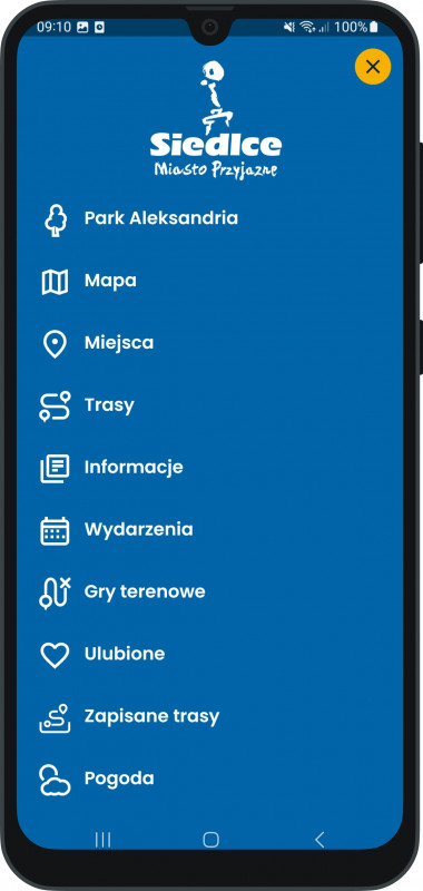
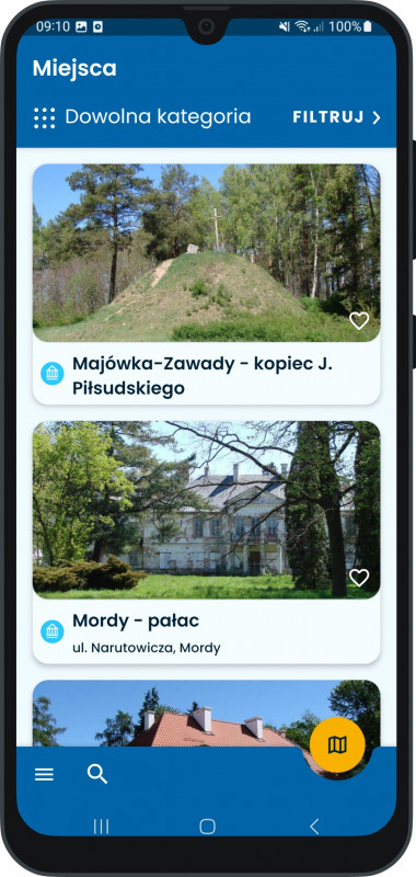
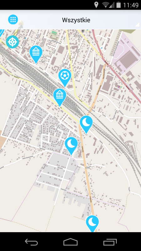
Thanks to the application, the user will get to know the most important monuments of the Siedlce land and will not get lost on the bicycle routes in Liwickie and Nadburzany, and all thanks to the GPS location, which will allow us to easily locate our position and find a given object on the map. The application also provides a handful of the latest information about events and the cultural and recreational offer. You can also find here a database of objects, divided into categories, e.g. accommodation and restaurants.
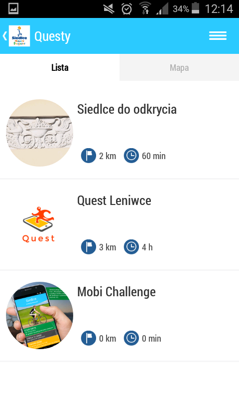
Another attractive part of the application are quests, which are a great proposal to combine active recreation with discovery and cognitive tourism. The user, in a legible and pleasant form, receives instructions to be performed, which involve the need to find a given location. After completing the task, we move on to the next stage of the game, and at the end there is a prize - a surprise.
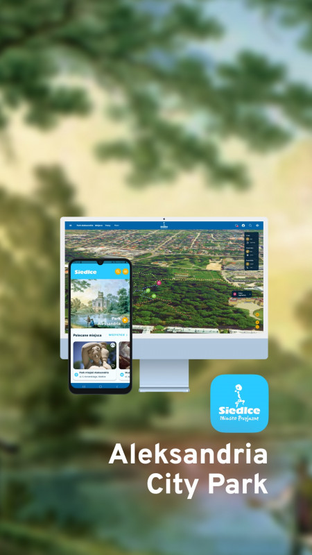
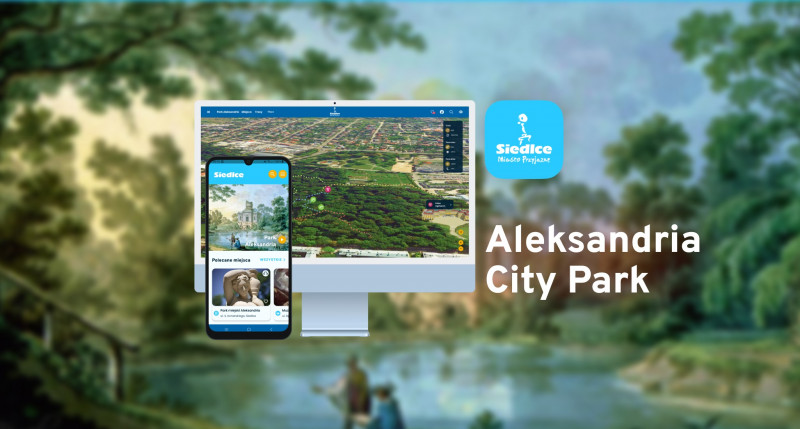
A new feature in the application is the module about the revitalized Aleksandria City Park - the modernly arranged area is used not only for rest and recreation, but is also a space for cultural and artistic events. The user can use the 3D map function, thanks to which he will see a cross-section of the entire park with the most important places marked. In addition, the tourist will find here quizzes on knowledge about the park, information about regular events, as well as nature trails marked on the map, which are an interesting proposal for a walk in the shade of trees, both for children and teenagers, as well as for adults.
The mobile guide also includes additional modules, such as a planner, QR code scanner or access to the weather forecast.
The application uses OpenStreetMap and GPS maps, works offline and was created for Android and IOS devices.